
Candikuning topographic map
Interactive map
Click on the map to display elevation.
About this map
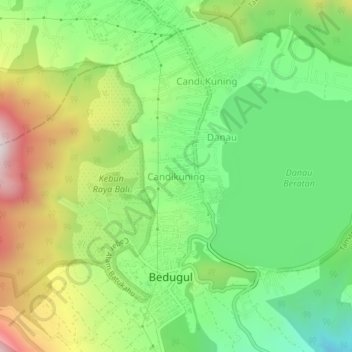
Name: Candikuning topographic map, elevation, terrain.
Location: Candikuning, 81162, Indonesia (-8.29333 115.14124 -8.25333 115.18124)
Average elevation: 4,308 ft
Minimum elevation: 3,297 ft
Maximum elevation: 5,869 ft