
Bouar topographic map
Interactive map
Click on the map to display elevation.
About this map
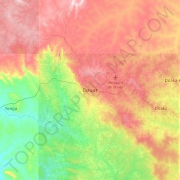
Name: Bouar topographic map, elevation, terrain.
Location: Bouar, Nana-Mambéré, Central African Republic (5.77540 15.43219 6.09540 15.75219)
Average elevation: 2,884 ft
Minimum elevation: 2,057 ft
Maximum elevation: 3,812 ft