Tapang Pulau topographic map
Interactive map
Click on the map to display elevation.
About this map
Name: Tapang Pulau topographic map, elevation, terrain.
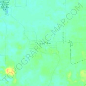
Average elevation: 79 ft
Minimum elevation: 49 ft
Maximum elevation: 144 ft

Click on the map to display elevation.
Name: Tapang Pulau topographic map, elevation, terrain.
Average elevation: 79 ft
Minimum elevation: 49 ft
Maximum elevation: 144 ft