
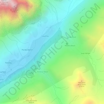
Sécheron topographic map
Interactive map
Click on the map to display elevation.
About this map
Name: Sécheron topographic map, elevation, terrain.
Location: Sécheron, Courmayeur, Vallée d'Aoste, Italie (45.82369 7.00538 45.86369 7.04538)
Average elevation: 6,969 ft
Minimum elevation: 5,299 ft
Maximum elevation: 11,010 ft