Vers-Chez-Jaccard topographic map
Interactive map
Click on the map to display elevation.
About this map
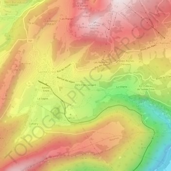
Name: Vers-Chez-Jaccard topographic map, elevation, terrain.
Average elevation: 3,707 ft
Minimum elevation: 1,965 ft
Maximum elevation: 4,928 ft

Click on the map to display elevation.
Name: Vers-Chez-Jaccard topographic map, elevation, terrain.
Average elevation: 3,707 ft
Minimum elevation: 1,965 ft
Maximum elevation: 4,928 ft