
Olde topographic map
Interactive map
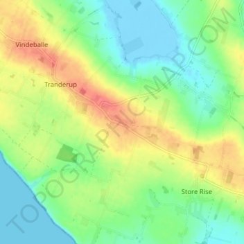
Click on the map to display elevation.
About this map
Name: Olde topographic map, elevation, terrain.
Location: Olde, Tranderup, Ærø Kommune, 5970, Dänemark (54.84292 10.35693 54.88292 10.39693)
Average elevation: 75 ft
Minimum elevation: -20 ft
Maximum elevation: 190 ft