
Uitweg topographic map
Interactive map
Click on the map to display elevation.
About this map
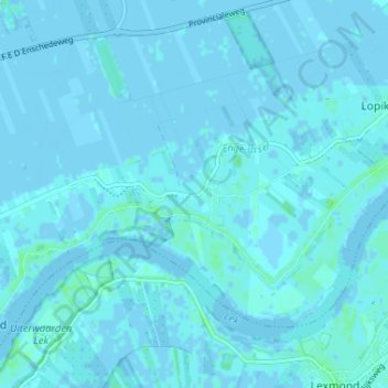
Name: Uitweg topographic map, elevation, terrain.
Location: Uitweg, Utrecht, Niederlande, 3412KV, Niederlande (51.96289 4.99279 52.00289 5.03279)
Average elevation: 3 ft
Minimum elevation: -10 ft
Maximum elevation: 23 ft