蓮花山 Lin Fa Shan topographic map
Interactive map
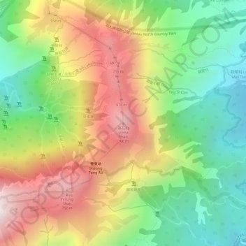
Click on the map to display elevation.
About this map
Name: 蓮花山 Lin Fa Shan topographic map, elevation, terrain.
Average elevation: 1,322 ft
Minimum elevation: 121 ft
Maximum elevation: 2,631 ft

Click on the map to display elevation.
Name: 蓮花山 Lin Fa Shan topographic map, elevation, terrain.
Average elevation: 1,322 ft
Minimum elevation: 121 ft
Maximum elevation: 2,631 ft