
Puranqui topographic map
Interactive map
Click on the map to display elevation.
About this map
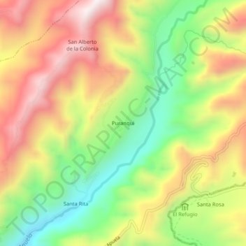
Name: Puranqui topographic map, elevation, terrain.
Location: Puranqui, Apuela, Cotacachi, Imbabura, Ecuador (0.36911 -78.50568 0.40911 -78.46568)
Average elevation: 6,486 ft
Minimum elevation: 5,203 ft
Maximum elevation: 7,825 ft