
Janaknandani topographic map
Interactive map
Click on the map to display elevation.
About this map
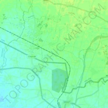
Name: Janaknandani topographic map, elevation, terrain.
Location: Janaknandani, Dhanusha, Madhesh Province, Nepal (26.60525 86.08771 26.66754 86.18350)
Average elevation: 240 ft
Minimum elevation: 220 ft
Maximum elevation: 259 ft