
Valdeconejos topographic map
Interactive map
Click on the map to display elevation.
About this map
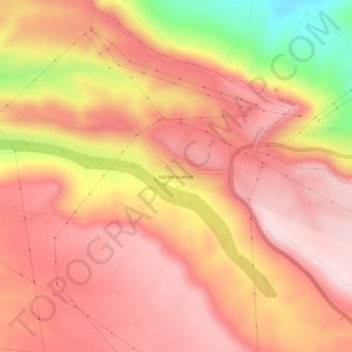
Name: Valdeconejos topographic map, elevation, terrain.
Average elevation: 4,403 ft
Minimum elevation: 3,550 ft
Maximum elevation: 4,803 ft
Other topographic maps
Click on a map to view its topography, its elevation and its terrain.
Escucha
España > Aragón > Cuencas Mineras > Escucha
Escucha, Cuencas Mineras, Teruel, Aragón, 44770, España
Average elevation: 3,996 ft