
Stanage topographic map
Interactive map
Click on the map to display elevation.
About this map
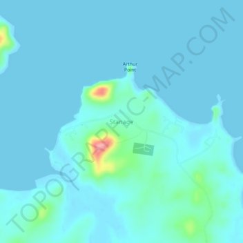
Name: Stanage topographic map, elevation, terrain.
Location: Stanage, Queensland, Australia (-22.15528 150.02251 -22.11528 150.06251)
Average elevation: 33 ft
Minimum elevation: -3 ft
Maximum elevation: 361 ft