
bhola topographic map
Interactive map
Click on the map to display elevation.
About this map
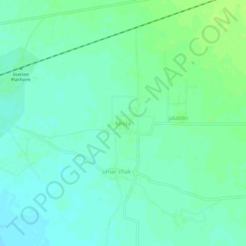
Name: bhola topographic map, elevation, terrain.
Location: bhola, Gujrāt District, Panyab, Pakistán (32.63681 73.87346 32.67681 73.91346)
Average elevation: 791 ft
Minimum elevation: 771 ft
Maximum elevation: 810 ft