
Mooncoin topographic map
Interactive map
Click on the map to display elevation.
About this map
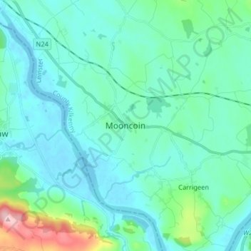
Name: Mooncoin topographic map, elevation, terrain.
Location: Mooncoin, County Kilkenny, Leinster, Ireland (52.25090 -7.29149 52.33090 -7.21149)
Average elevation: 102 ft
Minimum elevation: -3 ft
Maximum elevation: 676 ft