
Arakeri topographic map
Interactive map
Click on the map to display elevation.
About this map
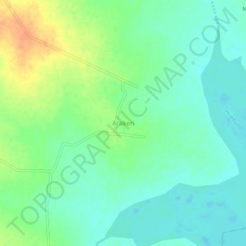
Name: Arakeri topographic map, elevation, terrain.
Location: Arakeri, Yelaburga taluku, Koppal district, Karnataka, India (15.44301 76.06467 15.48301 76.10467)
Average elevation: 1,811 ft
Minimum elevation: 1,765 ft
Maximum elevation: 1,896 ft