
Patikul topographic map
Interactive map
Click on the map to display elevation.
About this map
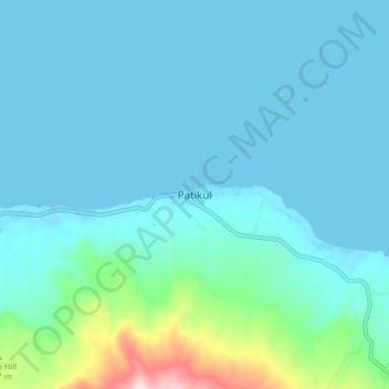
Name: Patikul topographic map, elevation, terrain.
Location: Patikul, Sulu, Bangsamoro, Philippines (6.04865 121.06705 6.12865 121.14705)
Average elevation: 200 ft
Minimum elevation: 0 ft
Maximum elevation: 1,562 ft
Other topographic maps
Click on a map to view its topography, its elevation and its terrain.