
Rodríguez de Mendoza topographic map
Interactive map
Click on the map to display elevation.
About this map
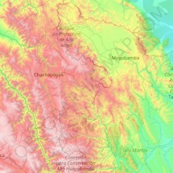
Name: Rodríguez de Mendoza topographic map, elevation, terrain.
Location: Rodríguez de Mendoza, Amazonas, Pérou (-7.36446 -78.42782 -5.36446 -76.42782)
Average elevation: 5,636 ft
Minimum elevation: 515 ft
Maximum elevation: 15,043 ft
Other topographic maps
Click on a map to view its topography, its elevation and its terrain.