
Feluy topographic map
Interactive map
Click on the map to display elevation.
About this map
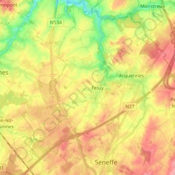
Name: Feluy topographic map, elevation, terrain.
Location: Feluy, Seneffe, Zinnik, Henegouwen, Wallonië, 7181, België (50.52349 4.20428 50.60159 4.27083)
Average elevation: 371 ft
Minimum elevation: 194 ft
Maximum elevation: 535 ft