
Cercal topographic map
Interactive map
Click on the map to display elevation.
About this map
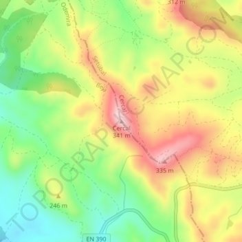
Name: Cercal topographic map, elevation, terrain.
Location: Cercal, Santiago do Cacém, Setúbal, 7555-254, Portugal (37.79436 -8.71883 37.79446 -8.71873)
Average elevation: 663 ft
Minimum elevation: 285 ft
Maximum elevation: 1,073 ft