
Penilee Park topographic map
Interactive map
Click on the map to display elevation.
About this map
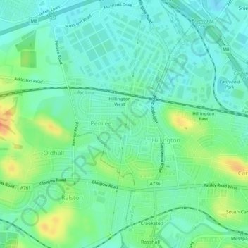
Name: Penilee Park topographic map, elevation, terrain.
Average elevation: 56 ft
Minimum elevation: 13 ft
Maximum elevation: 148 ft
Other topographic maps
Click on a map to view its topography, its elevation and its terrain.
Glasgow Green
United Kingdom > Scotland > Glasgow
Glasgow Green, Bellgrove, Calton, Glasgow, Glasgow City, Scotland, United Kingdom
Average elevation: 46 ft
Pollok Country Park
United Kingdom > Scotland > Glasgow
Pollok Country Park, Lime Avenue, Hazelwood, Glasgow, Glasgow City, Scotland, G41 4SN, United Kingdom
Average elevation: 85 ft