
Tengah topographic map
Interactive map
Click on the map to display elevation.
About this map
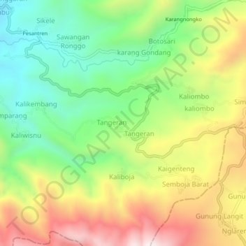
Name: Tengah topographic map, elevation, terrain.
Location: Tengah, Pekalongan, Central Java, Java, Indonesia (-7.20829 109.58778 -7.16829 109.62778)
Average elevation: 3,077 ft
Minimum elevation: 1,919 ft
Maximum elevation: 4,603 ft