
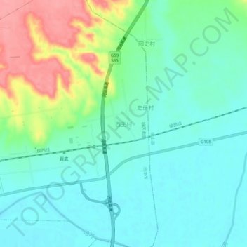
西王村 topographic map
Interactive map
Click on the map to display elevation.
About this map
Name: 西王村 topographic map, elevation, terrain.
Location: 西王村, 城区街道, 河津市, 运城市, Shanxi, China (35.56080 110.80347 35.60080 110.84347)
Average elevation: 1,299 ft
Minimum elevation: 1,211 ft
Maximum elevation: 1,522 ft