
Quepos topographic map
Interactive map
Click on the map to display elevation.
About this map
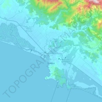
Name: Quepos topographic map, elevation, terrain.
Location: Quepos, Cantón Quepos, Provincia Puntarenas, 60601, Costa Rica (9.34259 -84.25419 9.57155 -84.02331)
Average elevation: 308 ft
Minimum elevation: -3 ft
Maximum elevation: 4,459 ft