
Thank you for supporting this site ❤️
Make a donation
Make a donation
Gear up for your next adventure:
As an Amazon Associate, this site earns from qualifying purchases at no extra cost to you.
Barmbek-Nord topographic map
Click on the map to display elevation.
Thank you for supporting this site ❤️
Make a donation
Make a donation
Gear up for your next adventure:
As an Amazon Associate, this site earns from qualifying purchases at no extra cost to you.
About this map
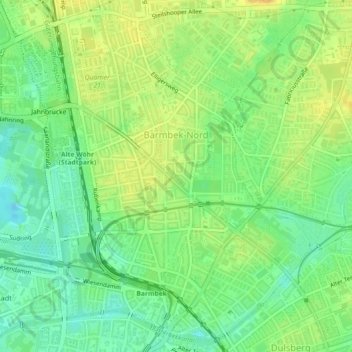
Name: Barmbek-Nord topographic map, elevation, terrain.
Location: Barmbek-Nord, Hamburg-Nord, Hamburg, Germany (53.58304 10.03214 53.60836 10.07002)
Average elevation: 52 ft
Minimum elevation: 7 ft
Maximum elevation: 98 ft
Thank you for supporting this site ❤️
Make a donation
Make a donation
Gear up for your next adventure:
As an Amazon Associate, this site earns from qualifying purchases at no extra cost to you.