Geolocate

Bato topographic map

Click on the map to display elevation.

About this map

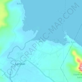
Name: Bato topographic map, elevation, terrain.

Location: Bato, Lamitan, Basilan, Bangsamoro, 7302, Philippines (6.64926 122.12722 6.68926 122.16722)

Average elevation: 52 ft

Minimum elevation: 0 ft

Maximum elevation: 659 ft

Gear up for your next adventure:

🌲Outdoor Survival Books - Best books on survival skills
🪶LED Camping Lantern - Bright lantern for camp lighting
🧷Carabiner Set - Durable clips for gear attachment
🔌USB Car Charger - Car charger for on‑the‑go power needs
🎁Geography Themed Gifts - Unique gift ideas for map lovers and geography enthusiasts

As an Amazon Associate, this site earns from qualifying purchases at no extra cost to you.