
Honey Creek State Natural Area topographic map
Interactive map
Click on the map to display elevation.
About this map
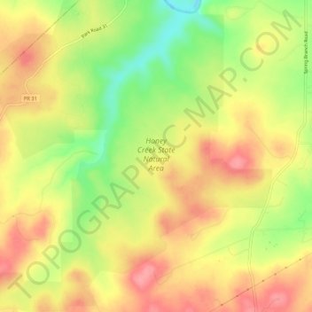
Name: Honey Creek State Natural Area topographic map, elevation, terrain.
Average elevation: 1,204 ft
Minimum elevation: 1,027 ft
Maximum elevation: 1,335 ft