
Yeşilhisar topographic map
Interactive map
Click on the map to display elevation.
About this map
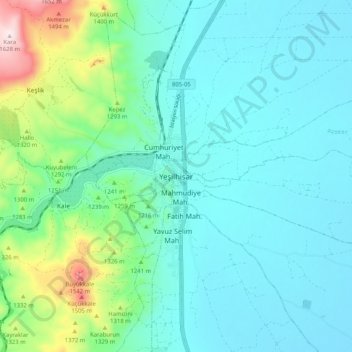
Name: Yeşilhisar topographic map, elevation, terrain.
Location: Yeşilhisar, Kayseri, Central Anatolia Region, 38800, Turkey (38.31228 35.04868 38.39228 35.12868)
Average elevation: 3,898 ft
Minimum elevation: 3,556 ft
Maximum elevation: 5,354 ft