
Lanslebourg-Mont-Cenis topographic map
Interactive map
Click on the map to display elevation.
About this map
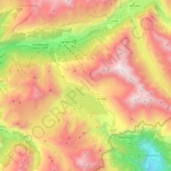
Name: Lanslebourg-Mont-Cenis topographic map, elevation, terrain.
Average elevation: 7,385 ft
Minimum elevation: 2,402 ft
Maximum elevation: 11,811 ft