
东山街道 topographic map
Interactive map
Click on the map to display elevation.
About this map
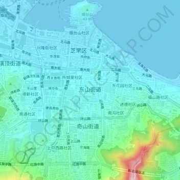
Name: 东山街道 topographic map, elevation, terrain.
Location: 东山街道, Zhifu District, Yantai, Shandong, 264000, China (37.52144 121.39519 37.54474 121.43663)
Average elevation: 121 ft
Minimum elevation: 0 ft
Maximum elevation: 860 ft