
Søllested topographic map
Interactive map
Click on the map to display elevation.
About this map
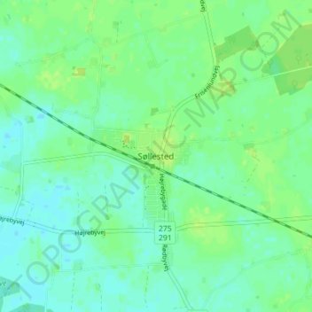
Name: Søllested topographic map, elevation, terrain.
Location: Søllested, Lolland Kommune, Region Seeland, 4920, Dänemark (54.79241 11.25099 54.83241 11.29099)
Average elevation: 20 ft
Minimum elevation: -3 ft
Maximum elevation: 39 ft