
Red Hill topographic map
Interactive map
Click on the map to display elevation.
About this map
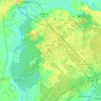
Name: Red Hill topographic map, elevation, terrain.
Average elevation: 30 ft
Minimum elevation: -3 ft
Maximum elevation: 59 ft
Other topographic maps
Click on a map to view its topography, its elevation and its terrain.
Burning Ridge
United States > South Carolina > Horry County > Red Hill
Burning Ridge, Red Hill, Horry County, South Carolina, United States
Average elevation: 43 ft