
Ruinas del Castillo de Alaejos topographic map
Interactive map
Click on the map to display elevation.
About this map
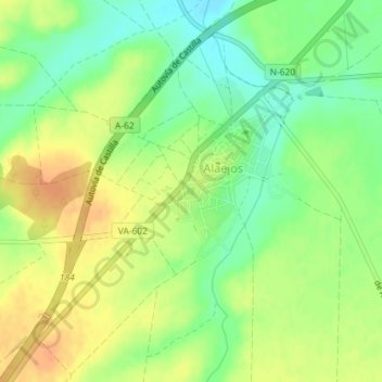
Name: Ruinas del Castillo de Alaejos topographic map, elevation, terrain.
Average elevation: 2,464 ft
Minimum elevation: 2,402 ft
Maximum elevation: 2,523 ft