
Xã Bình Chánh topographic map
Interactive map
Click on the map to display elevation.
About this map
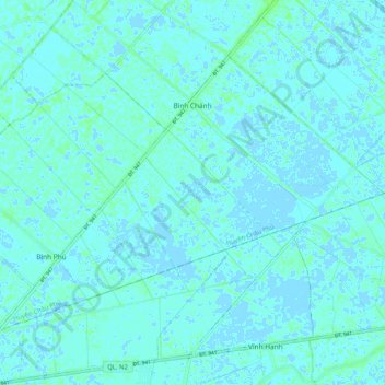
Name: Xã Bình Chánh topographic map, elevation, terrain.
Location: Xã Bình Chánh, Châu Phú District, An Giang Province, Vietnam (10.45960 105.18203 10.53040 105.28370)
Average elevation: 7 ft
Minimum elevation: -13 ft
Maximum elevation: 26 ft