
Old Zionsville topographic map
Interactive map
Click on the map to display elevation.
About this map
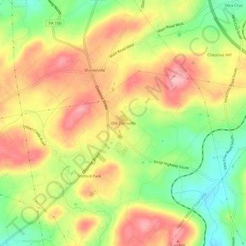
Name: Old Zionsville topographic map, elevation, terrain.
Average elevation: 712 ft
Minimum elevation: 472 ft
Maximum elevation: 922 ft
Other topographic maps
Click on a map to view its topography, its elevation and its terrain.
Milford Park
United States > Pennsylvania > Lehigh County > Upper Milford Township
Milford Park, Upper Milford Township, Lehigh County, Pennsylvania, 18092, United States
Average elevation: 725 ft