
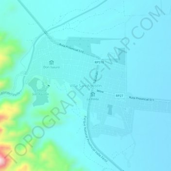
Villa San Agustín topographic map
Interactive map
Click on the map to display elevation.
About this map
Name: Villa San Agustín topographic map, elevation, terrain.
Location: Villa San Agustín, Valle Fértil, San Juan, Argentina (-30.65458 -67.48803 -30.61458 -67.44803)
Average elevation: 2,867 ft
Minimum elevation: 2,723 ft
Maximum elevation: 4,003 ft