
Birchenough Bridge topographic map
Interactive map
Click on the map to display elevation.
About this map
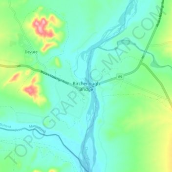
Name: Birchenough Bridge topographic map, elevation, terrain.
Location: Birchenough Bridge, Buhera, Manicaland, Zimbabwe (-20.00218 32.30126 -19.92218 32.38126)
Average elevation: 1,696 ft
Minimum elevation: 1,575 ft
Maximum elevation: 2,103 ft