
Renbygda topographic map
Interactive map
Click on the map to display elevation.
About this map
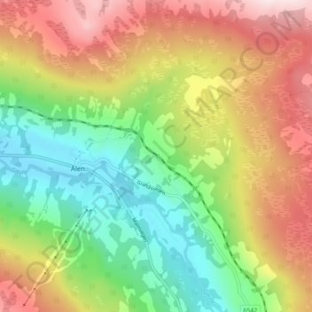
Name: Renbygda topographic map, elevation, terrain.
Location: Renbygda, Ålen, Holtålen, Tröndelag, 7380, Norwegen (62.82354 11.30070 62.86354 11.34070)
Average elevation: 1,877 ft
Minimum elevation: 1,214 ft
Maximum elevation: 2,713 ft