
Crisnée topographic map
Interactive map
Click on the map to display elevation.
About this map
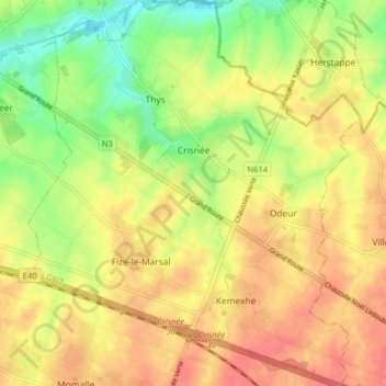
Name: Crisnée topographic map, elevation, terrain.
Location: Crisnée, Luik, Wallonië, 4367, België (50.68537 5.36312 50.73546 5.43175)
Average elevation: 417 ft
Minimum elevation: 305 ft
Maximum elevation: 495 ft