
Neelum River topographic map
Interactive map
Click on the map to display elevation.
About this map
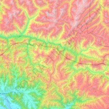
Name: Neelum River topographic map, elevation, terrain.
Location: Neelum River, Neelam Valley District, Azad Kashmir, Pakistan (34.62855 74.19159 34.82503 74.87398)
Average elevation: 10,574 ft
Minimum elevation: 5,233 ft
Maximum elevation: 17,346 ft