
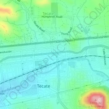
Parque Miguel Hidalgo topographic map
Interactive map
Click on the map to display elevation.
About this map
Name: Parque Miguel Hidalgo topographic map, elevation, terrain.
Location: Parque Miguel Hidalgo, Tecate, Baja California, México (32.57285 -116.62724 32.57357 -116.62600)
Average elevation: 1,808 ft
Minimum elevation: 1,650 ft
Maximum elevation: 2,375 ft