
拖木乡 topographic map
Interactive map
Click on the map to display elevation.
About this map
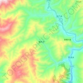
Name: 拖木乡 topographic map, elevation, terrain.
Location: 拖木乡, 凉山彝族自治州, 美姑县, 四川省, 中国 (28.37998 103.04157 28.45998 103.12157)
Average elevation: 7,267 ft
Minimum elevation: 6,148 ft
Maximum elevation: 9,055 ft