
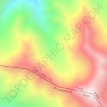
祁连山 topographic map
Interactive map
Click on the map to display elevation.
About this map
Name: 祁连山 topographic map, elevation, terrain.
Location: 祁连山, 肃南裕固族自治县, 张掖市, 甘肃省, 734400, 中国 (38.36195 99.86912 38.36205 99.86922)
Average elevation: 13,379 ft
Minimum elevation: 11,604 ft
Maximum elevation: 14,852 ft
Other topographic maps
Click on a map to view its topography, its elevation and its terrain.