
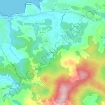
Ruilobuca topographic map
Interactive map
Click on the map to display elevation.
About this map
Name: Ruilobuca topographic map, elevation, terrain.
Location: Ruilobuca, Ruiloba, Costa Occidental, Cantabria, 39527, España (43.35436 -4.27796 43.39436 -4.23796)
Average elevation: 338 ft
Minimum elevation: 0 ft
Maximum elevation: 1,066 ft