
Cromwell topographic map
Interactive map
Click on the map to display elevation.
About this map
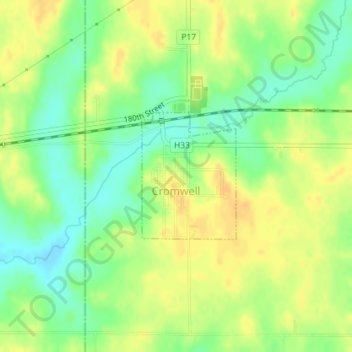
Name: Cromwell topographic map, elevation, terrain.
Location: Cromwell, Union County, Iowa, 50842, United States (41.03614 -94.46648 41.04588 -94.45687)
Average elevation: 1,270 ft
Minimum elevation: 1,217 ft
Maximum elevation: 1,309 ft
Other topographic maps
Click on a map to view its topography, its elevation and its terrain.
Creston
United States > Iowa > Union County
Creston, Union County, Iowa, 50801, United States
Average elevation: 1,293 ft