
El Barro topographic map
Interactive map
Click on the map to display elevation.
About this map
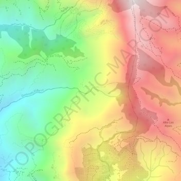
Name: El Barro topographic map, elevation, terrain.
Location: El Barro, La Troya, Salgar, Suroeste, Antioquia, Colombia (6.00180 -75.94838 6.00274 -75.94739)
Average elevation: 5,741 ft
Minimum elevation: 4,252 ft
Maximum elevation: 7,142 ft