
Mörsdorf topographic map
Interactive map
Click on the map to display elevation.
About this map
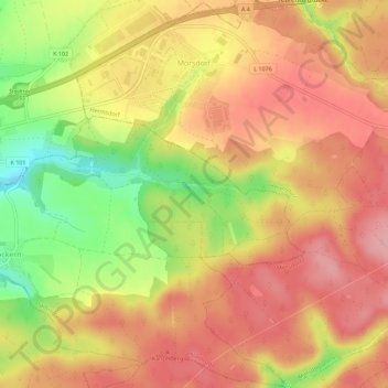
Name: Mörsdorf topographic map, elevation, terrain.
Location: Mörsdorf, Hermsdorf, Saale-Holzland-Kreis, Thuringia, Germany (50.84175 11.78403 50.87724 11.83895)
Average elevation: 1,083 ft
Minimum elevation: 837 ft
Maximum elevation: 1,234 ft