
Weert topographic map
Interactive map
Click on the map to display elevation.
About this map
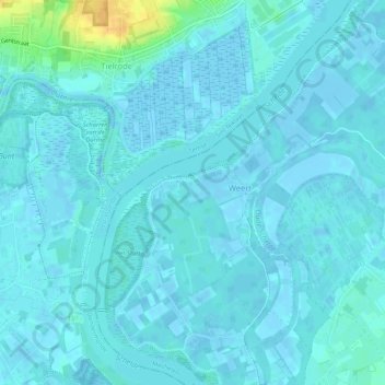
Name: Weert topographic map, elevation, terrain.
Location: Weert, Bornem, Antwerpen, Vlaanderen, België (51.08583 4.17197 51.11767 4.22423)
Average elevation: 10 ft
Minimum elevation: -13 ft
Maximum elevation: 89 ft