
Helen topographic map
Interactive map
Click on the map to display elevation.
About this map
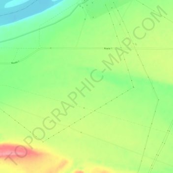
Name: Helen topographic map, elevation, terrain.
Location: Helen, Benton County, Washington, United States of America (46.60680 -119.62559 46.64680 -119.58559)
Average elevation: 515 ft
Minimum elevation: 371 ft
Maximum elevation: 689 ft