
Joliette topographic map
Interactive map
Click on the map to display elevation.
About this map
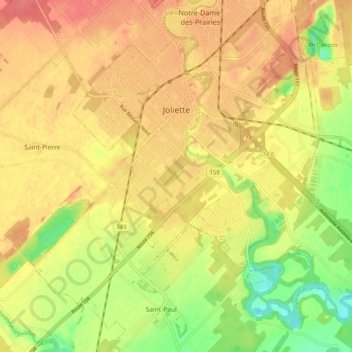
Name: Joliette topographic map, elevation, terrain.
Location: Joliette, Joliette (MRC), Lanaudière, Quebec, Canada (45.97729 -73.47161 46.04407 -73.37099)
Average elevation: 171 ft
Minimum elevation: 56 ft
Maximum elevation: 246 ft