
Messelmoun topographic map
Interactive map
Click on the map to display elevation.
About this map
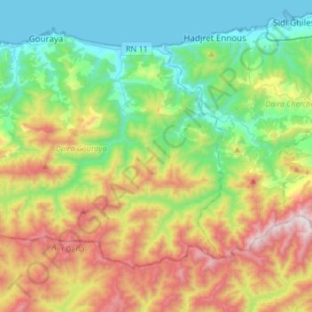
Name: Messelmoun topographic map, elevation, terrain.
Location: Messelmoun, Daïra Gouraya, Tipaza, Algérie (36.41046 1.78815 36.56817 2.06048)
Average elevation: 1,486 ft
Minimum elevation: -7 ft
Maximum elevation: 4,337 ft